
The LTER site Bílý Kříž is a part of the Experimental Ecological Study Site Bílý Kříž (EESS hereafter) which is located in the Moravian-Silesian Beskids Mts. (Czech Republic). The parent material is flysch dominated by sandstone. The EESS was established in 1986 within the framework of the project „Complex Research of Immission Impact on the Forests and Forestry of the Beskids“.
The EESS consists of the following components, of which the two former ones form the LTER Bílý Kříž:
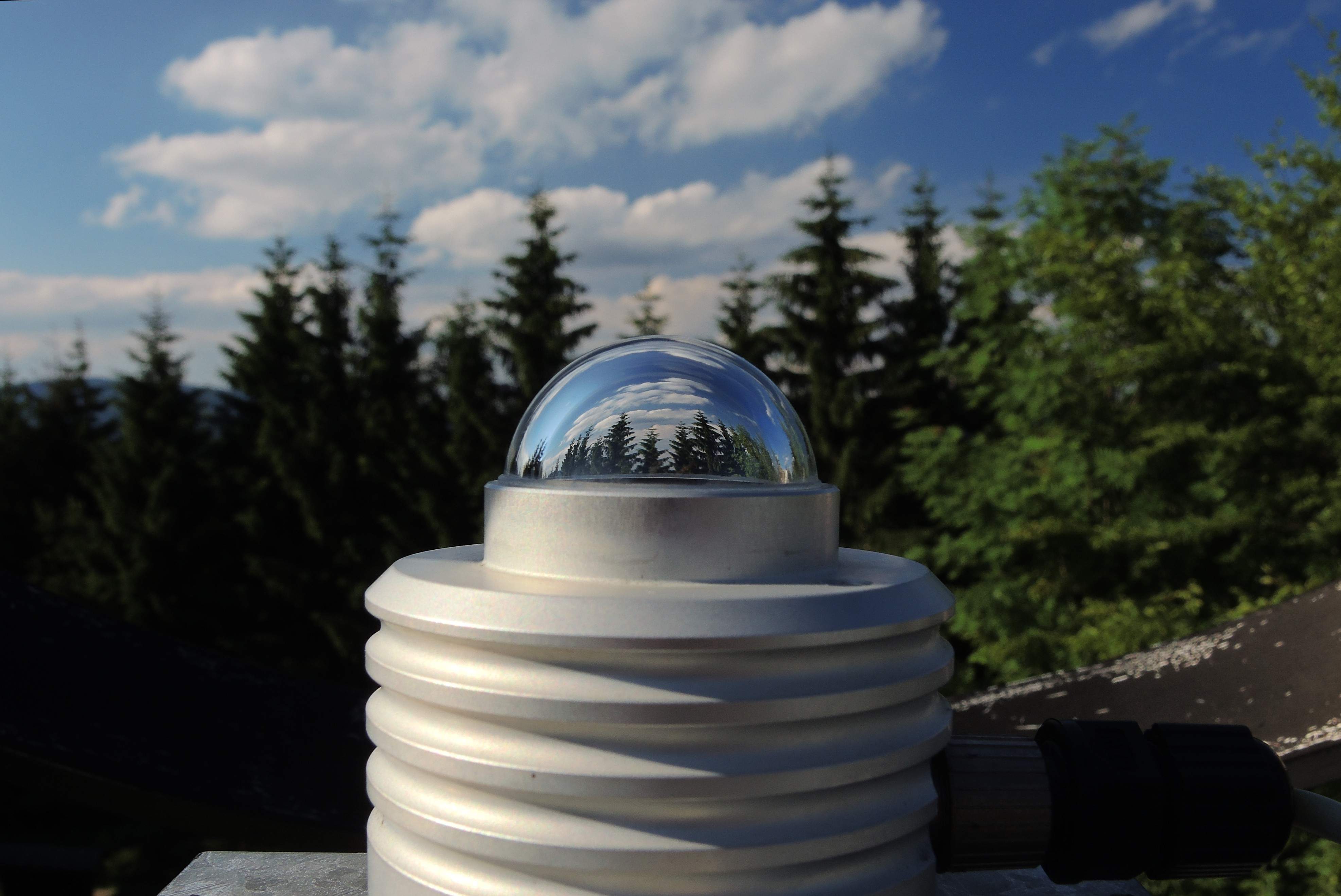
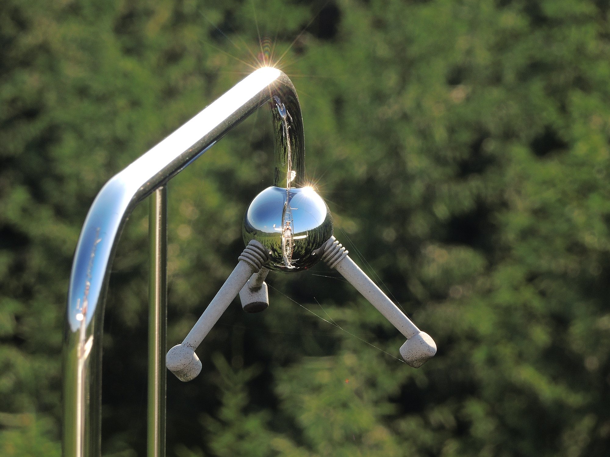
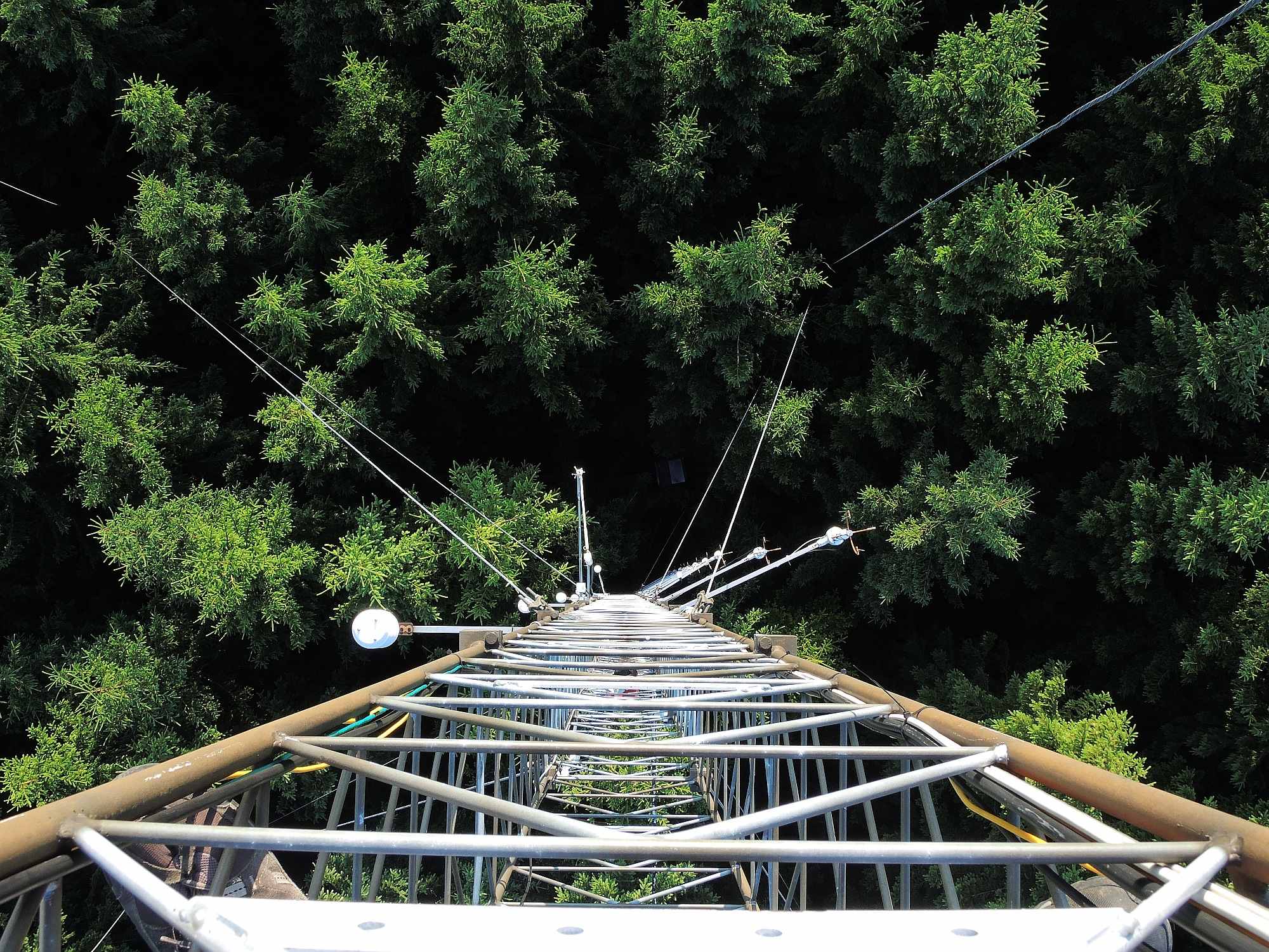
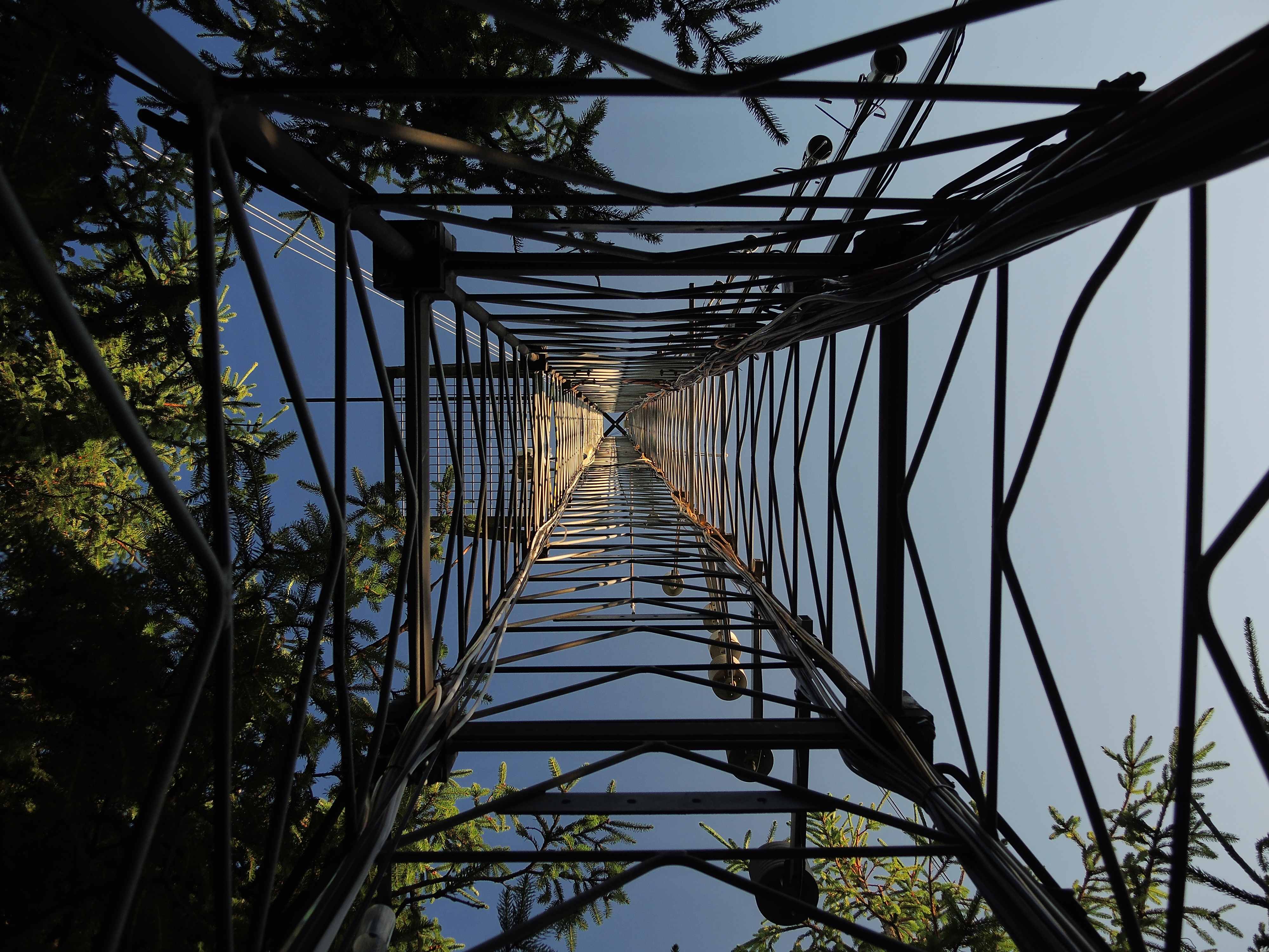
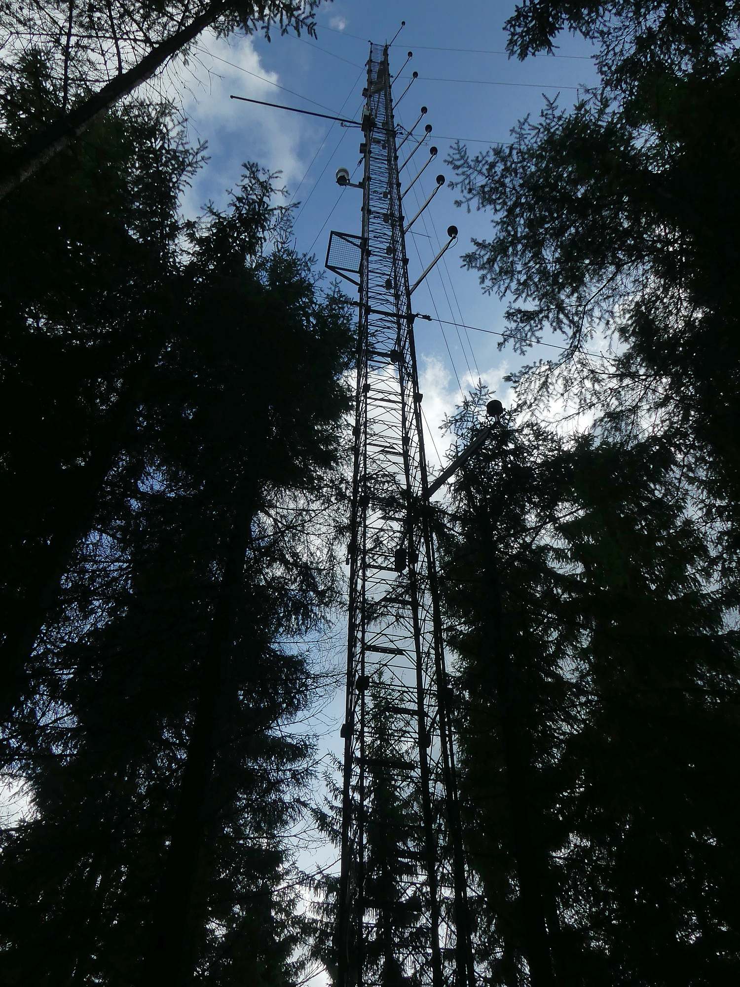
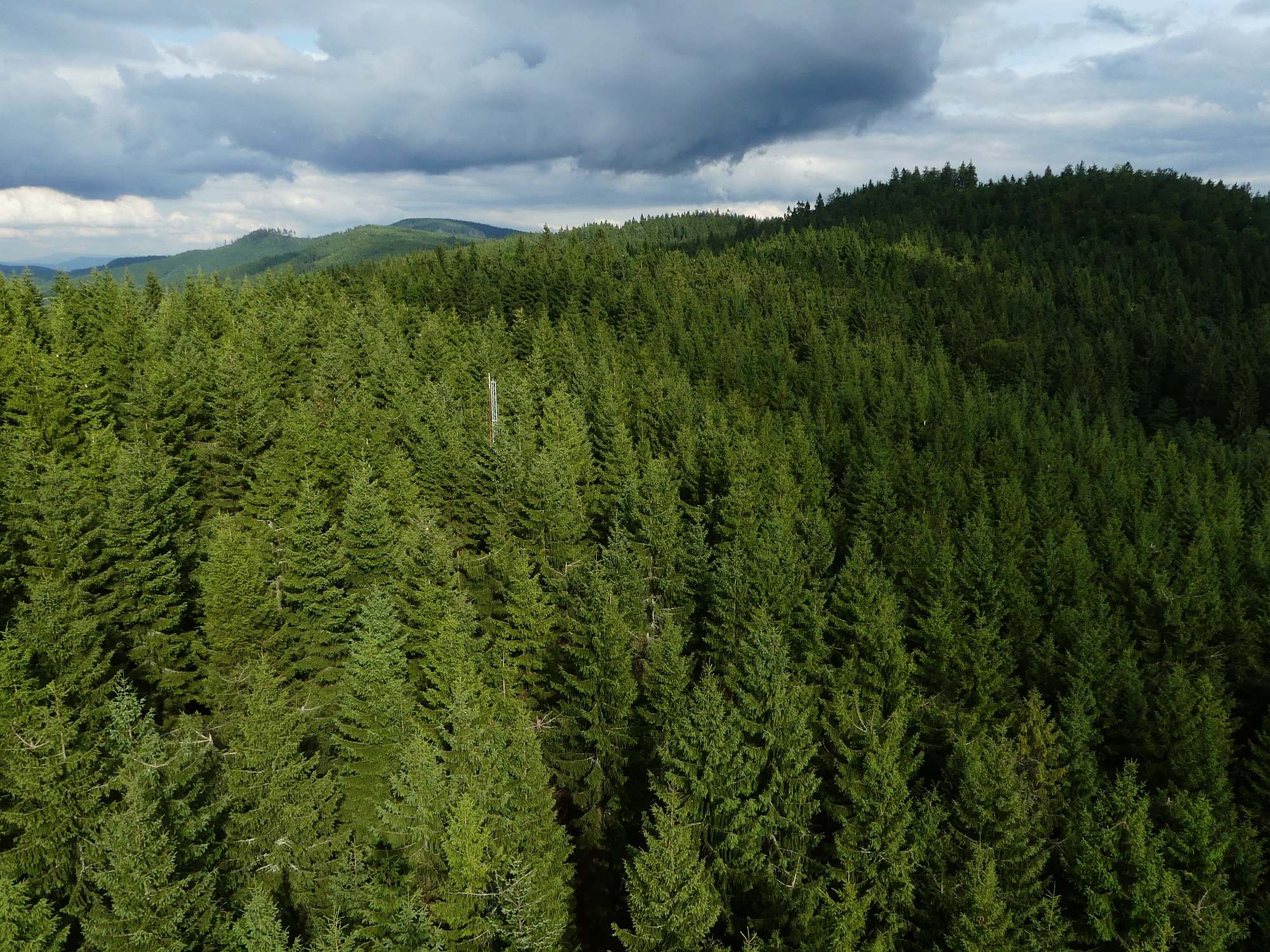
1) spruce forest stand – established in 1981 using row planting of 4-year-old seedlings of Norway spruce (Picea abies [L.] Karst.). Understory of the stand is composed of by European blueberry (Vaccinium myrtillus L.). In the stand is placed a meteorological mast (36 m height) equipped with eddy covariance system for energy and matter fluxes measurement, meteorological sensors (sun radiation, net radiation, photosynthetically active radiation, air temperature and relative humidity, wind speed and direction, precipitation). Adjacent to the mast are located sensors for soil temperature and moisture, soil heat flux, litter collectors, automatic system for soil and stem CO2 efflux,
2) climatological station (air temperature, relative humidity, sun radiation, precipitation, air pressure, soil temperature),
3) cultivation glass domes for investigation of impacts of elevated CO2 concentration (700 ppm) on forest tree species (Norway spruce (Picea abies [L.] Karst.) and European beech (Fagus sylvatica L.)),
4) grassland - formed by phytocenose of Nardus-Callunetea (dominating plants: Festuca rubra agg. L., Nardus stricta L., Veronica officinalis L., Hieracium laevigatum Froel.) and previously unmanaged part with phytocenose of Molinio-Arrhenatheretea (dominant plants: Rumex acetosa L., Hypericum maculatum Crantz., Holcus mollis L., Achillea millefolium L.).
EESS is a part of the CzeCOS network – an observational research infrastructure aimed to quantify the power and dynamics of carbon pools in ecosystems in the Czech Republic and their water balance, to identify the effects of environmental factors, including anticipated global climate change consequences, and capability of the ecosystems for carbon sequestration. The outputs are also used for the calibration of aerial images with respect to the identification of carbon pools by hyperspectral image processing methods.
EESS is also a part of international measuring network FLUXNET. The site is proposed as station Class-II of ICOS project (Integrated Carbon Observation System, ESFRI).
 Supported by Advance eLTER project number 739558