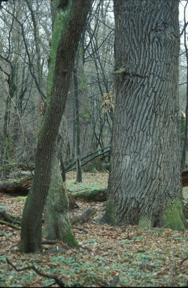
The central Europe’s largest complex of floodplain forest covers an area between the Morava River and Dyje River upstream their confluence. Permanent high water table and (more or less) periodical floods on either river have determined this phenomenon. As the Morava River was channelized and the Dyje River was dammed (the Nové Mlýny reservoirs), common floods have been replaced with the simulated flood regime right on the Dyje River. The LTER sites Ranšpurk and Cahnov–Soutok represent hardwood alluvial floodplain forest. European hornbeam, ash, and field maple have substituted formerly dominant species – pedunculate oak and smooth elm. As the oaks formed the grazed forest framework, their recent generation has spent the rest of their lives. Both sites have been left to spontaneous development since 1932. Because the plots, situated inside of a deer and fallow deer game-park, offered quiet spot for game stalls and natural regeneration became absolutely blocked, the reserves have been fenced.
| Site | Ranšpurk | Cahnov-Soutok |
|---|---|---|
| Area (ha) | 22,25 | 17,32 |
| Latitude (N, centre) | 48°40'43" | 48°39'20" |
| Longitude (E, centre) | 16°56'56" | 16°56'31" |
| Minimum altitude (m a.s.l.) | 152 | 151 |
| Maximum altitude (m a.s.l.) | 155 | 152 |
| Natural development since | 1931 | 1931 |
| Complete dendrometry in | 1973, 1994, 2006, 2020 | 1973, 1994, 2006, 2020 |
 Supported by Advance eLTER project number 739558